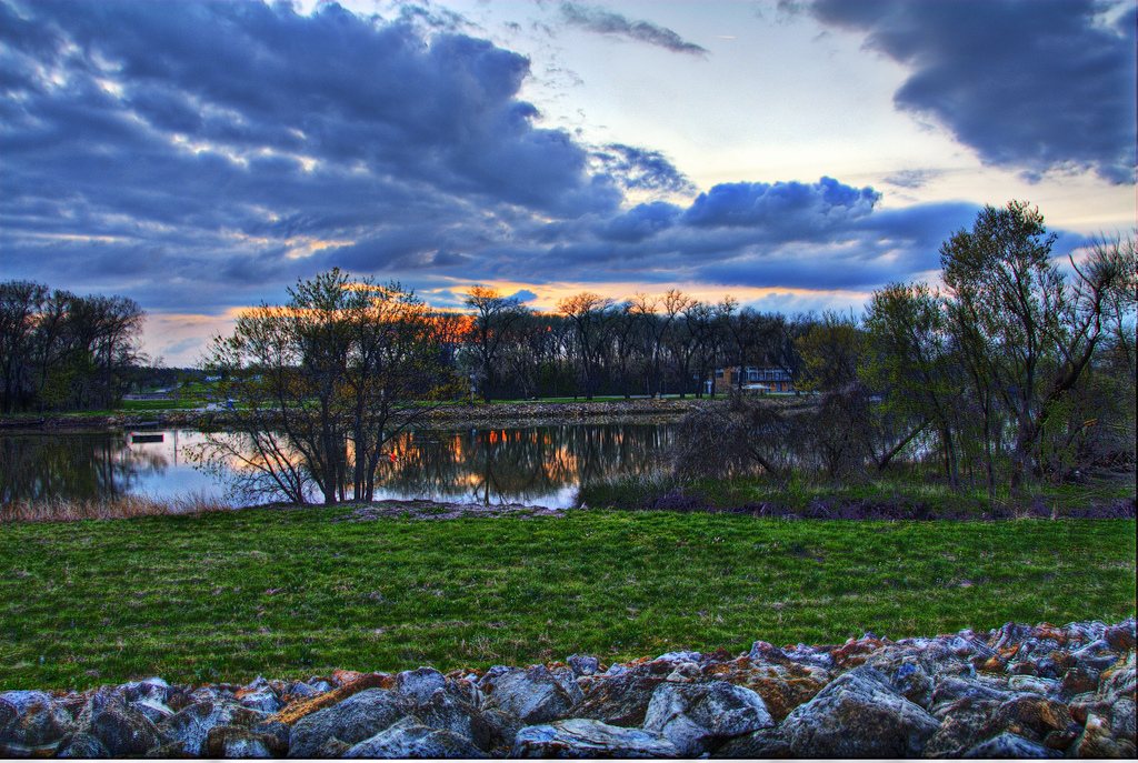
The Kansas River
Smoky Hills, Flint Hills, and Osage Cuestas
© Jimmy Emerson, DVM
Conservation Profile
Ecoregions
Smoky Hills of the Central Great Plains, Flint Hills, Osage Cuestas of the Central Irregular Plains
Stresses
American Rivers Most Endangered Rivers 5 times since 1995
Channel modification
Dredging for sand and gravel
Flood control
Bank stabilization
Groundwater depletion for agricultural irrigation
Pollution from agricultural runoff
Climate change: increase in drought frequency/severity
Industrial diversion
Invasive species: zebra mussels, Asian carp, white perch
Partners
Friends of the Kaw
Kansas River Keeper
Department of the Interior
Kansas Department of Wildlife and Parks
Kansas River Inventory
Kansas Alliance for Wetlands and Streams
Kansas Watershed Protection and Restoration Strategy
Fishes of Concern
Paddlefish (Polyodon spatula)
Shortnose Gar (Lepisosteus platostomus)
Southern Redbelly Dace (Chrosomus erythrogaster)
Brassy Minnow (Hybognathus hankinsoni)
Plains Minnow (Hybognathus placitus)
Cardinal Shiner (Luxilus cardinalis)
Common Shiner (Luxilus cornutus)
Sturgeon Chub (Macrhybopsis gelida)
Shoal Chub (Macrhybopsis hyostoma)
Peppered Chub (Macrhybopsis tetranema)
Hornyhead Chub (Nocomis biguttatus)
Emerald Shiner (Notropis atherinoides)
River Shiner (Notropis blennius)
Arkansas River Shiner (Notropis girardi)
Topeka Shiner (Notropis topeka)
Suckermouth Minnow (Phenacobius mirabilis)
Slim Minnow (Pimephales tenellus)
Blue Sucker (Cycleptus elongatus)
Neosho Madtom (Noturus placidus)
Northern Plains Killifish (Fundulus kansae)
Plains Topminnow (Fundulus sciadicus)
Arkansas Darter (Etheostoma cragini)
Sauger (Sander canadensis)
General Description
The Kansas River, locally known as the Kaw, is the longest prairie based river in the world. Beginning at the confluence of the Smoky Hill and Republican Rivers at Junction City Kansas, the Kaw flows 173 miles to its mouth at the Missouri River in Kansas City, Kansas. Tributaries, in addition to the Smoky Hill and Republican Rivers, include the Big Blue, Solomon, and Saline Rivers. Because none of its contributors originate from mountains, the Kansas River is entirely based in prairie ecosystem, leaving its temperature and flows dependent upon the local climate and groundwater.
At 53,000 miles, the Kansas River basin is larger than the state of Iowa. The majority of the basin is in Kansas, where it drains almost the entire northern half of the state, in addition to most of Nebraska south of the Platte River, and a portion of northeastern Colorado. The river valley transitions from patches of grassland, scrub, and lowland forests in the west to Eastern Deciduous Forest. The diversity of major habitats and the transitions between them support a rich biodiversity.
The Kaw’s muddy waters, rich in soft sediments, and the deep, fertile soils of this region that have been plowed since European settlement, are a product of glacial tilling. The limestone and flint rocks of the tallgrass prairies rendered them unsuitable for farming. Today there remains extensive remnant prairie in the Glacial Hills of the Kansas River watershed, as well as the Flint Hills, the largest tract of intact prairie ecosystem in North America.
Identifying Stresses

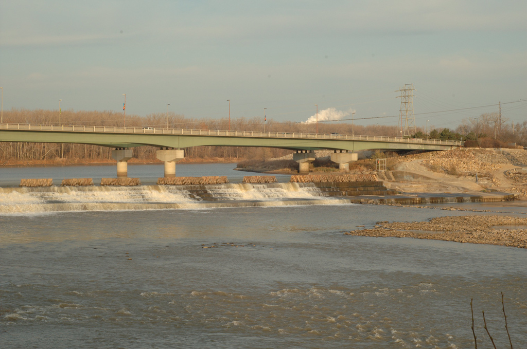
The Kansas River watershed is primarily comprised of cropland and grassland, but it is also home to over 40% of the state’s population. In addition to providing drinking water for more than half a million people, the river is used for agricultural irrigation, three coal-fired power plants, industrial and municipal wastewater, and in-river sand and gravel dredging for the concrete industry. The Kaw was historically a wide, shallow, silty, slow-moving, braided river, but it has been heavily modified by flood control measures, water diversions, bank stabilization, and dredging. The Kaw’s degraded habitat has made the American River’s Most Endangered Rivers list 5 times since 1995. The sediment regime is altered by both dams and agricultural and urban runoff. Dams trap the natural, coarse sediments while dredging causes the river channel to deepen. These modifications to the river channel result in a narrower, deeper, straighter, swifter river. Overpumping of groundwater for agriculture has resulted in drought conditions in parts of the river. In addition to the altered river channel and degraded habitat, weirs, dams, and levees limit the movement of already stressed fishes and there have been multiple extirpations.
Existing Conservation and Research Elements
The Kansas Department of Wildlife and Parks is utilizing for species conservation recently gathered stream survey data by the Kansas Department of Health and Environment. Funding through the EPA and the Kansas State Water Plan has resulted in the Kansas Watershed Protection and Restoration Strategy (WRAPS). Operating at the sub-watershed level, multiple WRAPS, such as those overseen by Friends of the Kaw, are working to reduce sediments trapped by dams, reduce non-point source pollution such as erosion and agricultural runoff, and reduce fine organic sediment that smothers benthic invertebrates and native mussels. The Corps of Engineers is requiring a full Environmental Impact Study before reauthorizing dredging permits on the Kansas River; however, the current permits have been extended for now.
Sources
- https://sites.google.com/site/kansasriverinventory/conservation-priorities
- http://www.kgs.ku.edu/Publications/KR/kr_geol.html
- http://kansasriver.org/about-fok/
- https://www.americanrivers.org/river/kansas-river/
- http://ksoutdoors.com/Fishing/Aquatic-Nuisance-Species
- http://www.kswraps.org/projects/spring-river-watershed-development